
Off-grid farming is changing the way we grow food—putting sustainability, self-reliance, and environmental care front and center. Rather than relying on traditional power grids or water supplies, these farms turn to renewable energy sources like solar and wind. They also embrace land management techniques that support long-term soil health and biodiversity, working with nature instead of against it.
With digital tools becoming increasingly accessible, NDVI imagery stands out as a game-changer for agriculture. Using satellite data, the Normalized Difference Vegetation Index (NDVI) delivers precise information about plant health, biomass density, and crop performance. For off-grid farmers, this means they can keep a close eye on their fields from afar, spot early warning signs of stress, and optimize water and fertilizer use. This smart, data-driven method not only boosts yields but also conserves vital resources—making sustainable farming possible even in the most remote areas without conventional infrastructure.

The Basics of NDVI: Measuring Plant Vitality from Space
The Normalized Difference Vegetation Index, or NDVI, is a key tool in remote sensing that helps measure plant health by examining how plants reflect and absorb light. It works by comparing two types of light: near-infrared (NIR), which healthy plants strongly reflect, and visible red light, which plants absorb during photosynthesis. The NDVI is calculated with a straightforward formula:
NDVI = (NIR – Red) / (NIR + Red)
This ratio highlights plant vigor—vibrant, leafy vegetation reflects more near-infrared light and absorbs more red light, resulting in higher NDVI scores. In contrast, stressed or sparse plants show lower values, making NDVI an effective way to monitor crop conditions remotely and efficiently.
The resulting data is used to generate NDVI imagery—color-coded maps that visually represent plant health across large areas. In these maps:
- High NDVI values (closer to +1) indicate lush, healthy vegetation
- Low NDVI values (closer to 0 or negative) point to bare soil, stressed crops, or non-vegetated areas
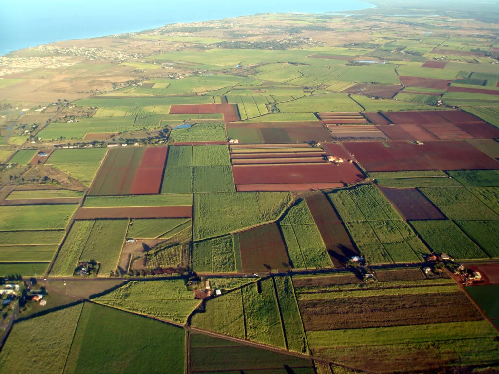
These NDVI maps provide an immediate overview of crop performance, identifying areas that need attention without physical field visits. This makes NDVI mapping ideal for large or remote fields and especially valuable for off-grid and resource-limited farms.
Boosting Off-Grid Agriculture Through NDVI
Off-grid agriculture requires smart, precise decisions to make the most of limited resources. That’s where NDVI mapping comes in—it gives farmers a clear picture of crop health, helping them work more efficiently and sustainably, even when they don’t have access to traditional infrastructure.
Efficient Resource Management
NDVI maps highlight zones of plant stress, allowing off-grid farmers to prioritize irrigation and fertilization. Instead of treating entire fields uniformly, they can focus only on areas that need attention. Studies by the FAO show that precision irrigation supported by NDVI can cut water use by nearly 30%, a vital benefit for water-scarce off-grid farms. This is essential when working with solar-powered pumps or limited fertilizer supplies.
Early Detection of Crop Stress
Changes in NDVI values often appear before visual symptoms are noticeable. This early warning system helps detect:
- Pest infestations
- Water stress
- Nutrient deficiencies
Farmers can act faster, reducing losses and improving yields, critical when operating independently and without backup systems.
Affordable, Equipment-Free Monitoring
With NDVI imagery accessible through platforms like EOSDA Crop Monitoring, even farmers without advanced machinery can access satellite insights using just a smartphone. These tools often work offline or with low bandwidth, ideal for remote locations.
Budget-Friendly Access
These days, even small off-grid farmers can access powerful crop monitoring tools. Many platforms now offer free or low-cost NDVI data downloads and near real-time vegetation maps, making high-tech farming insights more accessible than ever. By making precision agriculture more accessible, NDVI levels the playing field—empowering growers everywhere to farm smarter, respond faster, and build more resilient systems, no matter where they are.
Your First Steps in NDVI Crop Monitoring
Getting started with NDVI agriculture is easier than ever, thanks to user-friendly tools and open-access satellite data. Platforms like EOSDA Crop Monitoring give farmers easy access to NDVI data downloads from satellites such as Sentinel-2 and Landsat. These satellites are equipped with advanced NDVI sensors that capture detailed multispectral images every 5 to 16 days, making it easy to track crop health over time.
Here’s how to begin:
- Step 1: Pick a platform that fits your needs—consider your location, the crops you grow, and what kind of device you’ll be using.
- Step 2: Look for tools that automatically generate NDVI maps, send crop health alerts, and show trends over time.
- Step 3: Take time to understand what NDVI values mean, so you can quickly spot which areas of your field are thriving and which ones need attention.
- Step 4: Download your maps for offline use—perfect for off-grid farms where internet access is limited.
Some platforms also integrate NDVI GIS data, allowing seamless overlay with soil, terrain, or field boundaries for deeper analysis. With the right tools, you can calculate NDVI regularly and transform raw satellite data into crop-saving decisions.
Real-World Example: NDVI in Off-Grid African and Brazilian Farming
According to the Global Report on Food Crises by the World Food Programme, more than one-fifth of people in sub-Saharan Africa experience moderate to severe food insecurity, underscoring the urgent need for sustainable farming solutions, such as NDVI.
That’s why in rural Brazil and sub-Saharan Africa, farming cooperatives are turning to NDVI imagery to drive more innovative agriculture. Using NDVI maps from satellite platforms like Sentinel-2, smallholder farmers monitor crop vigor, guide planting cycles, and manage soil regeneration in agroforestry—all via solar-powered mobile hubs. With over 600 million people in sub-Saharan Africa lacking electricity access (IEA, 2023), these solutions are critical. Farmers rely on NDVI values interpretation to optimize water use and plan community irrigation, helping combat food insecurity. By eliminating the need for costly diesel pumps and manual labor, NDVI agriculture powered by off-grid solar is reshaping rural resilience.
Advancing Resilience with NDVI-Powered Farming
NDVI mapping gives off-grid farmers a smart, reliable way to boost productivity, use fewer resources, and catch problems early—without needing expensive infrastructure. With access to NDVI imagery, they can literally get a bird’s-eye view of their fields and make quick, informed decisions based on crop health. Thanks to growing access to NDVI data downloads, easy-to-use mobile apps, and solar-powered tech, even the most remote communities can tap into the benefits of precision agriculture. This move toward digital, data-driven farming isn’t just improving yields—it’s helping build food security, support sustainability, and create a more resilient future for farming in regions hit hardest by climate change and poor infrastructure.
______________
Author: Vasyl Cherlinka
Vasyl Cherlinka is a Doctor of Biosciences specializing in pedology (soil science), with 30 years of experience in the field. With a degree in agrochemistry, agronomy and soil science, Dr. Cherlinka has been advising on these issues private sector for many years.